Fred Exiting; Hot August Weather Ahead
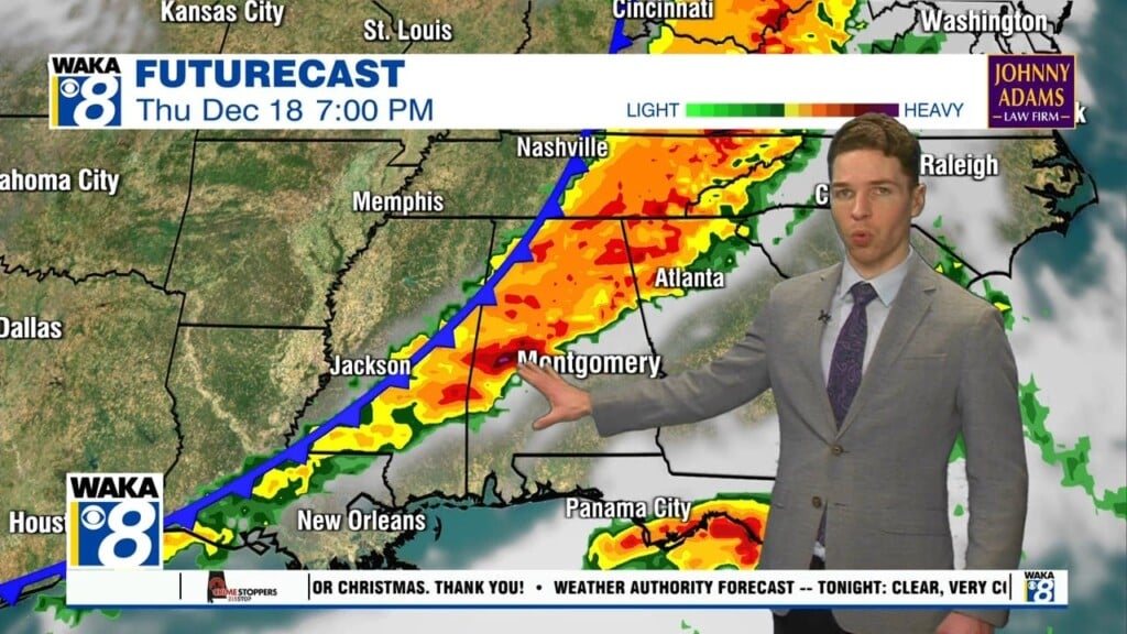
Fred made landfall along the Florida Panhandle yesterday and has been working north through Far East Alabama overnight with wind and rain for areas east of Intestate 65. Fred has is now a tropical depression….The depression is moving toward the north-northeast near 14 mph, and this motion with an increase in forward speed is expected to continue for the next day or so. On the forecast track, the center of Fred will move across western and northern Georgia today, across the southern Appalachian Mountains tonight, and into the central Appalachians by early Wednesday.

Maximum sustained winds have decreased to near 35 mph with higher gusts. Additional weakening is forecast during the next couple of days and Fred is expected to degenerate into a remnant low by tonight and merge with a frontal system on Wednesday. The estimated minimum central pressure based on nearby surface observations is 1004 mb (29.65 inches). Fred will be exiting the state by this afternoon, and today will feature a mix of sun and clouds with highs in the upper 80s.
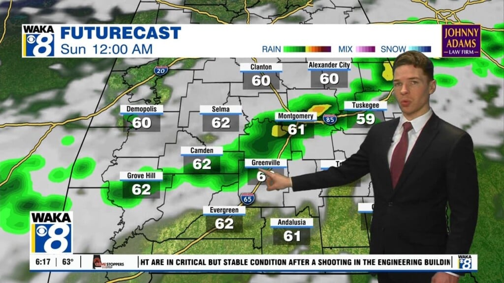
REST OF THIS WEEK: We expect fairly routine weather across Alabama for the second half of this week. Each day will feature a mix of sun and clouds each day along with scattered showers and thunderstorms, most active during the afternoon and evening hours. Highs will be in the low and mid 90s. Rain chances are higher than normal for this time of year due to the tropical air mass that will be left in place as Fred departs the region. Rain chances will be in the 50-70 percent, while most of the showers and storms will come from 12PM-10PM. And yes, areas of flash flooding will be possible with some of the more intense tropical downpours.
REST OF THE TROPICS: We have Tropical Storms Grace and Henri as well.
TROPICAL STORM GRACE: The center of Tropical Storm Grace was located near latitude 18.2 North, longitude 75.4 West. Grace is moving toward the west near 16 mph. A general westward to west-northwestward motion is expected for the next several days. On the forecast track, the center of Grace will move near the northern coast of Jamaica this afternoon. Grace is forecast to move near the Cayman Islands tonight, and then approach the Yucatan peninsula of Mexico late Wednesday or early Thursday.

Maximum sustained winds recently reported by an Air Force Reserve reconnaissance aircraft were near 40 mph with higher gusts. Gradual strengthening is forecast during the next couple of days, and Grace could be near hurricane strength when it approaches the Yucatan coast of Mexico late Wednesday and early Thursday Tropical-storm-force winds extend outward up to 45 miles from the center. The estimated minimum central pressure is 1005 mb (29.68 inches).
TROPICAL STORM HENRI: The center of Tropical Storm Henri was located near latitude 30.6 North, longitude 63.7 West. Henri is moving toward the west-southwest near 5 mph. A turn toward the west is forecast by tonight, and a slightly faster westward motion should continue through early Thursday. A turn to the west-northwest or northwest is expected by late Thursday. On the forecast track, the center of Henri should pass well to the south of Bermuda late today or tonight.

Maximum sustained winds have increased to near 50 mph with higher gusts. Some additional strengthening is possible during the next day or so.
Henri remains a small tropical cyclone. Tropical-storm-force winds extend outward up to 35 miles from the center. The estimated minimum central pressure is 1004 mb (29.65 inches).
Good news, neither of these storms will be impacting Alabama or locations along the Northern Gulf Coast.
WEEKEND WEATHER: Rain chances will decrease by the weekend as only isolated afternoon storms will be in the forecast. Expect hot and humid conditions with highs in the low to mid 90s. And this weather pattern looks to continue into next week as well.
Have a exceptional Tuesday!!!
Ryan